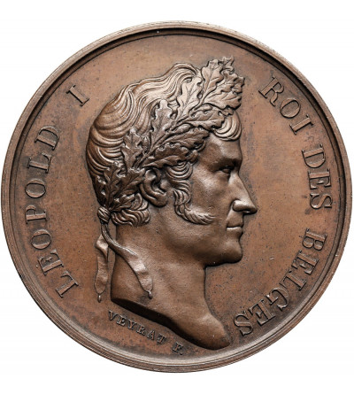
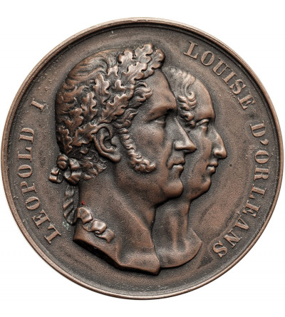
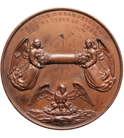
. Medal 1872 commemorating geographers and cartographers A. Ortelius and G. Mercator")
. Medal 1872 commemorating geographers and cartographers A. Ortelius and G. Mercator")
. Medal 1872 commemorating geographers and cartographers A. Ortelius and G. Mercator")
. Medal 1868 in honor of J. A. Mullie, mayor (bugomaster) of St. Genois, Communal Cemetery")
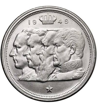
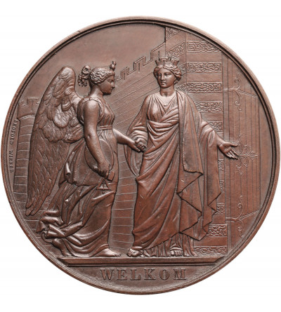
. Medal 1880 commemorating the 50th Anniversary of Independence, National Congress")
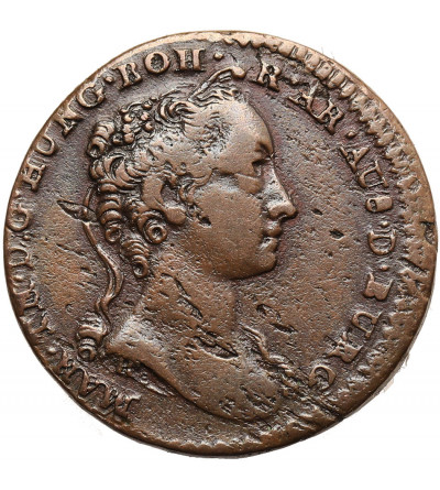
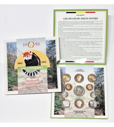
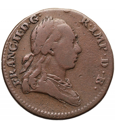
Spanish Netherlands, Maria Theresia 1740-1780. 1 Liard (Oord) 1745, Brabant - Antwerp mint
PLN100.00
Spanish Netherlands, Maria Theresia 1740-1780. 1 Liard (Oord) 1745, Brabant - Antwerp mint, KM 1, Vanhoudt 801 AN, Copper 22 mm, weight 3,68 g., Condition VF, metal surface defects, nice glossy patina